PIHAK YANG TERLIBAT DALAM PROSES PECAH TANAH
Agak-agak anda tahu tak berapa dan jabatan mana yang terlibat dalam pembahagian pecah bahagian tanah…
Our experienced staff of land surveyors utilize state-of-the-art equipment and practical innovation to reduce survey costs and expedite the completion of projects, while maintaining a superior product for our clients.
Expert Craftsmanship
Comprehensive Services
Customer Satisfaction
Cadastral surveying is the discipline of land surveying that relates to the laws of land ownership and the definition of property boundaries.
Engineering survey are required for the design and construction of civil engineering projects such as roads, railways, bridges, tunnels, landfill cells, landfill caps, mining infrastructure, pipelines and quarry infrastructure.
Topography survey are used for measurement of topographic, contour, locates all surface features of a property, and depicts all natural features that includes the height and elevation of the ground for our client.
Terrestrial Laser Scanning where we provide services that can give an accurate 3D data in time with cost effective time.
We provide the utility plan that defines the detection of underground utilities.
We provide services for mapping, monitoring, and observation as it can capture large areas for survey data.
Hydrographic survey involves measuring the terrain of lake, dam or ocean floors to determine the bed profile.
Geographical information system is a computer system that analyses and displays geographically referenced information.
Our As-Built Surveys allow capturing the information of existing buildings and structures due to the accuracy of our high-standard 3D Laser scanning equipment.
Agak-agak anda tahu tak berapa dan jabatan mana yang terlibat dalam pembahagian pecah bahagian tanah…
Hari ini Abang Bob nak berkongsi mengenai tiga jenis kategori tanah yang mana kebanyakan dari…
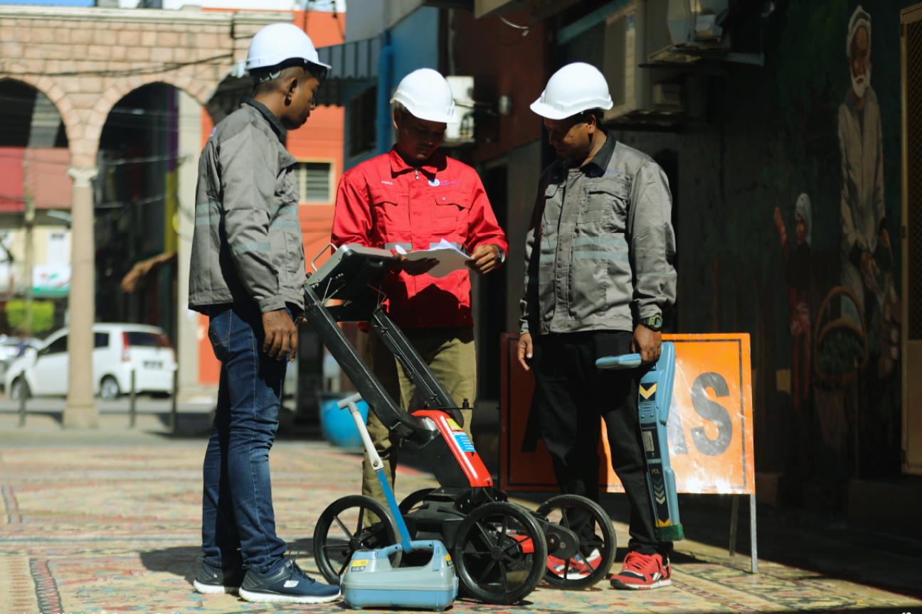
Biasanya masalah kekeliruan atau tak pasti dengan kedudukan tanah dengan tepat ini biasanya akan berlaku…
JURUKUR MAHABOB & CO. SDN. BHD. is one of License Land Surveyor Company that has been registered under Land Surveyors Act 1958. We are one of the Licensed Land Surveyors & Land Development Consultants who are owned by Bumiputera’s.
(+609) 512 6688
jmcsb@mahabob.com
Kuantan, Pahang
© 2025 Jurukur Mahabob & Co. Sdn Bhd • All Rights Reserved